6 Awesome Photos of MN Taken from the International Space Station
If you've ever used Google Maps before, then you've likely seen a photo of Minnesota from space.
Those aerial shots, according to Quora.com, come from a combination of airplane camera and satellite images.
What you've probably not seen before -- unless you're a huge NASA nerd -- are photos of Minnesota taken from the International Space Station. NASA has a website called Gateway to Astronaut Photography of Earth that's basically a huge online catalog of photos taken from the ISS.
A quick search of Minnesota showed dozens of results; here are just a few of them:

OTTER TAIL RIVER, SUNGLINT, LAKES


MILLE LACS L., AGR., ROADS, L.

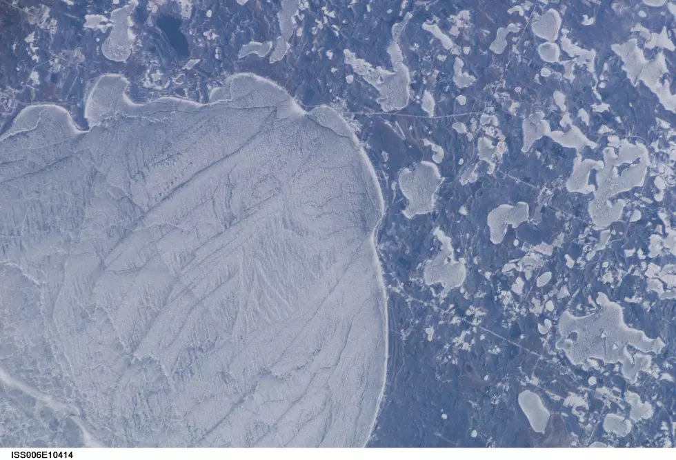
MILLE LACS LAKE, NORTH END, ICE

MILLE LACS LAKE, S. E. SIDE, ICE
To see more photos of Minnesota from the ISS, visit here.
More From Fun 104