Here’s Why We Didn’t Get a Lot of Snow Last Friday
If you were hoping for one of those big 'ol Minnesota snowstorms Friday, you might have been disappointed with the smaller amounts that fell. Here's why that happened.
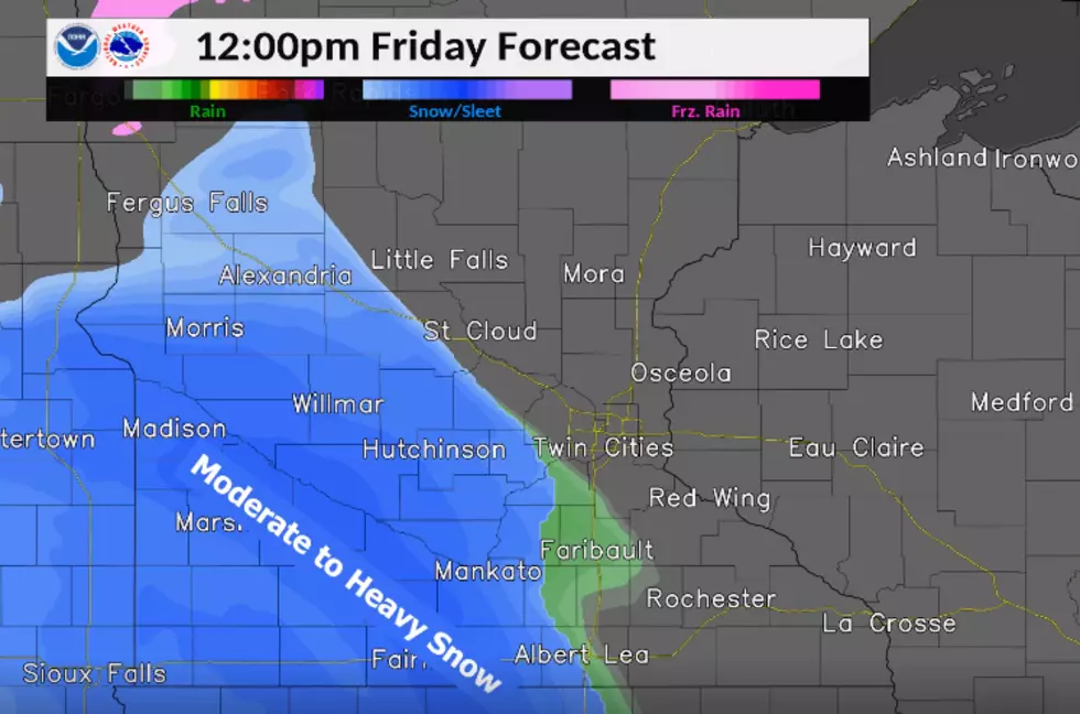
Count me in as one of those many Minnesotans who were underwhelmed by the somewhat minuscule amount of snow that fell during Friday's snowstorm. I mean, various weather forecasters had been talking about the big storm since early in the week, the National Weather Service had us under a Winter Storm Warning, and I was expecting (and hoping) for one of those big 'ol storms like we had last February, or like the storm back in 2010 that collapsed the roof on the Metrodome.
But, we only ended up getting about 4 inches. (4.2, specifically at Rochester International Airport, which was STILL enough to break the previous record set in 1945!) And, while that was certainly within the updated forecasts that called for between 3 and 5 inches of snow. And, of course, the gusty winds were the bigger story AFTER the snow fell, which caused roads to deteriorate quickly Saturday (especially after the NWS issued a Blizzard Warning for parts of our area.)
But how come we didn't end up getting closer to the 10 to 12 inches of snow that was talked about earlier in the week? Well, the NWS says you can blame something called a 'dry slot.' It's responsible for giving us a layer of freezing rain instead of keeping all the precipitation as snow. (You can read the scientific explanation of what a 'dry slot' is-- and why it happened last weekend-- HERE.)
Either way, though, I'm guessing even if we didn't end up getting a lot of snow with THIS storm, Old Man Winter will no doubt have us busting out the shovels and snowblowers with more of the white stuff before it warms up this spring!
Listen to Curt St. John mornings from 6 to 10 a.m. on Quick Country 96.5
and afternoons from 2 to 6 p.m. on 103.9 The Doc

More From Fun 104