What?!? Rochester Could Get Even More Snow This Weekend
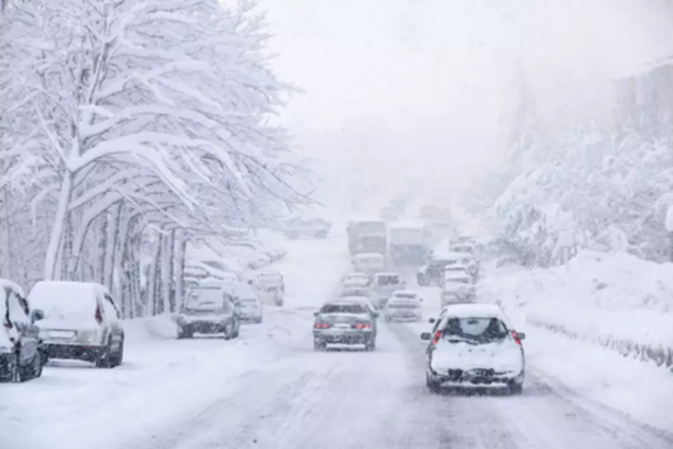
It was the winter that was slow to start but now just won't stop, and now even more snow could hit Rochester this weekend.
It's tough to remember now, but in early January most of southeast Minnesota had lost the 7 inches of snow we'd received in early December. I remember thinking that it seemed weird for it to be January and not have any snow on the ground.
My, how times have changed! Because we've already set a record for the most snowfall even in Rochester in the month of February, and Old Man Winter is set to dump even more on us this weekend.
That's the latest word from the National Weather Service La Crosse office, who said in a post on their Twitter page that another winter storm is taking aim at our area Saturday night and into Sunday-- one that could dump another 6+ inches of snow on us!
As their post says, it's still too early to forecast an accurate amount of snow-- if we get any-- but the potential is there. Here's what they've said so far:
"Freezing rain and some snow will be seen late Friday evening into Saturday morning, before temperatures warm up and precipitation switches to just rain for most. A switch to snow is then expected late Saturday afternoon into Saturday night, with significant snowfall accumulations possible, though confidence is low on where the highest snowfall totals will be seen. In addition, strong winds could lead to some blowing snow in open and areas."
Listen to Curt St. John from 6 to 10 a.m. on Quick Country 96.5
and from 10 a.m. to 2 p.m. on 103.9 The Doc
More From Fun 104


